
UChicago Student Researchers Embark on 2019 Galápagos Urbanization & Sustainable Development Study
Second annual study will explore the evolution of the built environment and resource consumption on the Galápagos Islands
June 17, 2019
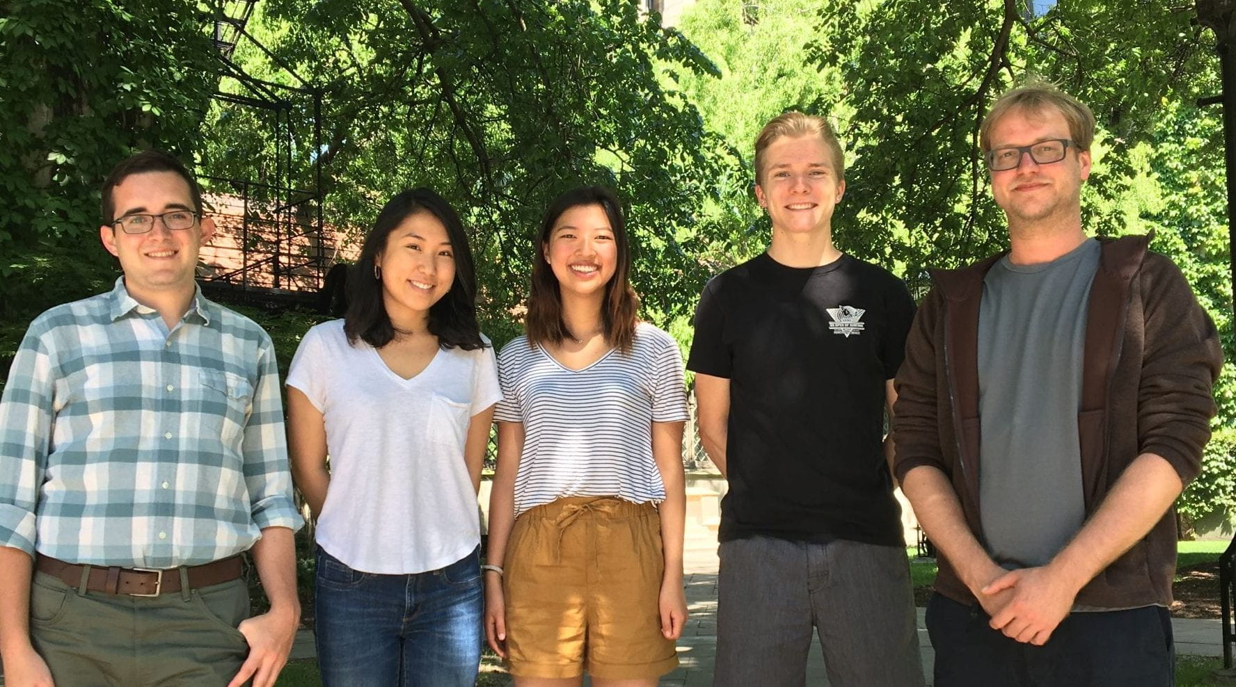
UChicago undergraduate research students headed to the Galápagos, left to right: Samuel Joyce, Amy Tian, Jein Park, Ryan Cutter, and their mentor Mansueto Postdoctoral Fellow Daniel Zünd.
A cohort of four University of Chicago undergraduate research assistants and faculty advisors embarked on the second annual Galápagos Urbanization & Sustainable Development study, which will explore evolution of the built environment and resource consumption on the Galápagos Islands. The 6-week research study is led jointly by the University of Chicago’s Mansueto Institute for Urban Innovation and the Program on the Global Environment (PGE), and is a partnership among the University of Chicago, Universidad San Francisco de Quito (USFQ), and the Melbourne School of Design (MSD).
Most people associate the Galápagos Islands with Darwin, evolution, and a natural ecosystem with incredible biodiversity. However, the archipelago is urbanizing rapidly – what were once small fishing villages are now dense towns with populations in the tens of thousands – and shows no signs of slowing its growth. This isolated environment presents a unique opportunity to measure the relationship between human development and the natural environment, and to identify development management strategies that address the needs of both people and the myriad species endemic to the islands. By analyzing this microcosm, the Mansueto Institute for Urban Innovation, PGE, and local research partners aim to define macro processes that can inform sustainable development best practices for urban areas around the world.
The 2019 study represents the first time the University of Chicago will lead a key piece of the research to create critical geographic and graphical resources on which to build future urban development research.
“The allure of the Galápagos Islands is driving rapid urbanization. This poses questions about how human development on the Galápagos can co-exist with the environment. By mapping the Islands, we can see how the Galápagos is changing and track the impact that development has on local environments over time,” said Luís Bettencourt, Director of the Mansueto Institute for Urban Innovation.
“Creating this first-ever documentation of the built environment will lay the foundation for researchers and local stakeholders to better quantify development patterns and the impact on natural habitats. This is a necessary first step to identifying strategies for development that are least disruptive to the natural ecosystem while supporting the socioeconomic needs of residents,” said Sabina Shaikh, Director of the Program on Global Environment.
This year’s undergraduate student researchers on the Galápagos study include:
- Ryan Cutter, Environmental Science (2021)
- Sam Joyce, Environmental & Urban Studies (2020)
- Jein Park, Public Policy and Sociology (2020)
- Amy Tian, Biology (Ecology and Evolution) and Public Policy (2021)
Student research positions will run for 6 weeks, including 4 weeks of field work on the Galápagos Islands. Dates are June 17 – July 26, 2019. Students will receive guidance from Mansueto Institute Director Luís Bettencourt and PGE Director Sabina Shaikh. Field work and data collection in the Galápagos will be overseen by Mansueto Institute Postdoctoral Fellow, Daniel Zünd. All travel and lodging expenses for student researchers will be covered by the Mansueto Institute. Undergraduate researchers also each receive $2,400 research stipends, provided by the College Research in the Arts, Social Sciences, and Humanities (CRASSH) grant program, the Social Sciences Collegiate Division and the College Center for Research and Fellowships (CCRF) at the University of Chicago.
Student research assistants will help with gathering and analyzing a variety of spatial data – satellite, drone, and street-level imagery – to create critical geographic and graphical resources on which to build future urban development research. Currently, no comprehensive, image-based maps or models of the Galápagos Islands are in existence, limiting opportunities to effectively categorize different types of land use and development, and document changes over time.
The research team will partner with Mapillary, an open source mapping service, to aggregate all geotagged data.
Student tasks include:
- Designing an image capture methodology for multiple towns in the Galápagos, factoring in unique built environment conditions and possible constraints for each
- Developing a quality assurance protocol to ensure images accurately cover desired terrain
- Using 360-degree camera to capture street-view imagery on foot or bicycle
- Supporting research leads in accessing and categorizing drone and satellite images; possibility to build 3D models for those with coding and programming skills
- Processing street-view imagery through Mapillary: manage upload process, and use tagging features to document key types of space use and development patterns
- Synthesizing key findings from spatial analysis
Watch a video of how the research team is using technology to map the Galápagos Islands here: https://youtu.be/yMvwrh4PbUg
Following completion of their summer research, 2019 Galápagos student research assistants will benefit from the ongoing support of the College Center for Research and Fellowships (CCRF) and will be required to present their work at the University of Chicago Undergraduate Research Symposium in May 2020. Additional support is provided by the Social Sciences Collegiate Division.